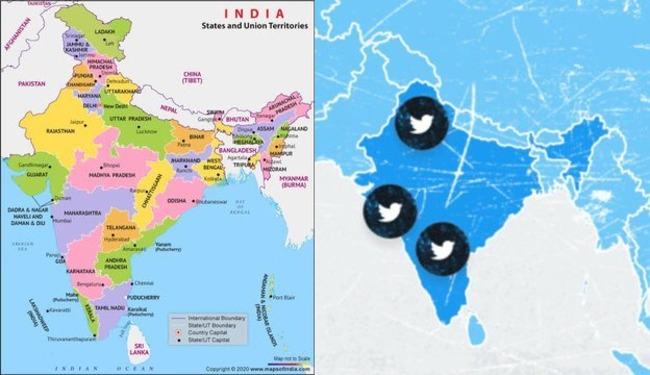
New Delhi: Twitter removed the distorted map of India from its site on June 28 after severe backlash.
Faced with widespread condemnation, Twitter deleted a distorted map of India from its website on June 28, depicting Jammu & Kashmir and Ladakh as not being part of India.
The map, which appeared on the Twitter website’s Career page under the heading ‘Tweep Life’ section, was removed from the webpage late today.
The incorrect map attracted heavy criticism from netizens and demands of action against the microblogging site.
Amit Malviya, the national president of the Bharatiya Janata Party’s IT unit, criticized the social networking platform on Monday for publishing an incorrect map.
Speaking to ANI, Amit Malviya said, “This is not the first time that Twitter has got India’s map wrong and, that’s perhaps the reason why intermediary guidelines mandate that social media and tech company employees should understand the local cultural sensitivities in territorial issues. I guess it is time to realize that there is inadequacy in compliance with the law of land”.
Previously, in October 2020, Twitter had labeled the Indian territory of Leh in Ladakh as part of the People’s Republic of China (PRC).
The government of India had then issued a warning to CEO Jack Dorsey over the misrepresentation of the Indian map. Secretary of Information Technology, in a letter to Twitter, stated that such attempts not only bring Twitter into contempt but also raise doubts about its neutrality and fairness as an intermediary.
Twitter has been in a standoff with the Indian government for several months over new amendments to the country’s new Information Technology legislation, which sees the microblogging platform lose its intermediary status and become accountable for user-generated content.
Among other conditions mandated by the government in the new rules for social media websites include the appointment of an interim grievance officer for India and other regulations.
(ANI)
More Stories
‘Tippu NijaSwarupam’ Book Launch event organised in Hyderabad
Muslim cleric from AP calls for assassination of PM Modi and Amit Shah
Kerala Church Rebels Against New Worship Method Mandated by Pope